
Report from a Lapidus Initiative Digital Collections Fellowship recipient
Lauren Coats (Associate Professor of English and Director, Digital Scholarship Lab) and Andrew Sluyter (Professor of Geography and Anthropology) of Louisiana State University, in conjunction with LSU Libraries, received one of three awards made last year for the Lapidus Initiative Fellowships for Digital Collections. In concert with other OI projects promoting creative use of digital tools and materials, these fellowships are intended to bring scholars and collections specialists together to make collections available for digital scholarship.
Applications for the 2018 fellowship are due January 8, 2018.
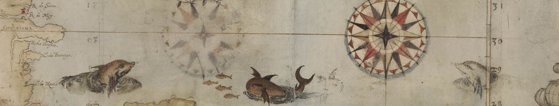
 The Lapidus Initiative Fellowship supports the digitization of about 1000 colonial Louisiana land grant surveys, as well as their upload to the Louisiana Digital Library (LDL), an open-access digital repository that guarantees digital preservation of and access to the materials. Most of the work at this point has focused on digitization. One half of the surveys have been scanned, with the rest scheduled to be completed by mid-February 2018.
The process of preparing the material uncovered that conservation work was necessary for several volumes, a discovery that delayed the timeline but was nonetheless fortuitous. Without the scanning and conservation work, the artefacts would have continued deteriorating. It has also increased usability of the original artefacts; several of the volumes (the individual surveys had been bound into volumes sometime in the twentieth century) were disbound since the binding obscured parts of the individual surveys. The conservation has been completed, and scanning has resumed.
 The grant process has thus ensured that the artefacts are preserved in physical and digital forms. The completed scans are in the process of being added to the LDL. The rest will be added when scanning is complete. Scholarly work using the surveys has begun, as well. Andrew Sluyter has georeferenced 100 of the scanned surveys as of December 2017, and will continue the work in 2018. I (Lauren Coats) am studying the surveys scanned for use in my chapter on the textual products of early American land surveying.
Note: All images in this post are part of the Colonial land grant survey from the Pintado papers, 1771-1820, 1842, Courtesy of LSU Libraries.
Leave a Reply