
County Plats: Evidence of a 17th-Century Virginian Cartographic Culture
Today’s post is courtesy of Nathan Braccio, an Omohundro Institute–Jamestown Rediscovery Foundation fellow. Nathan spent a month in Williamsburg at the OI and Jamestown this summer.
During my month in Williamsburg I conducted research for my dissertation, “Parallel Landscapes: Algonquian and English Spatial Epistemologies 1500-1700.” While the bulk of my research focuses on how New England colonists and Algonquians described and learned about the landscape before 1700, I came to Virginia to study a culture of professional surveying and mapmaking among its early colonists. New England colonists were largely uninterested in surveying and mapping for the first few decades of settlement. Instead, they preferred perambulations carried out cooperatively or by prominent members of the community walking along boundary lines and writing down what they observed. Their simple surveys were generally conducted at the behest of local authorities instead of colonial governments. The colony of Virginia had more powerful governors, imperial officials, and a surveyor general appointed starting in 1620. As Sarah Hughes has observed, that Virginians surveyed and mapped regularly. [1] Through research of the maps produced in Virginia and surveys conducted, I hoped to be able to learn more about why Virginian colonists had embraced professional surveying and mapping more readily then their New England counterparts.
My research found that Virginian colonists were interested in surveying and mapmaking from as early as 1609. Archaeologists at Jamestown have uncovered at least eleven measuring compasses, four of which they have dated to before 1609. While compasses of this kind could have been used for purposes besides surveying, they are strongly associated with it. Many mapmakers in the 1600s drew them on maps as embellishments.[2] Despite the presence of compasses few maps survive from the first few decades of the Virginia colony besides preliminary maps made of Virginia by John Smith and several sailors. The first cadastral map that still exists is dated to 1643.[3] However, this does not necessarily mean that maps were not being produced. As any researcher familiar with Virginia archives will know (and I recently learned), many records have been destroyed by fire and war. Furthermore, the research notes for the collections of the Virginia land office note that supplemental material to land grants, including surveys, were destroyed annually.[4]

Figure 1: Compasses from the Jamestown Rediscovery Foundation’s Collections
The maps that survived exist largely in county land records. Surveyors made the maps for county courts, often at the request of the court, to help resolve boundary disputes. The archival location of the maps suggest that surveying and mapping began to expand in the 1660s, 1670s, and 1680s. Instead of simply being produced for the colonial government in Jamestown, mapmaking was taking place in county centers. While only a handful of maps still exist, they indicate that surveyors capable of technically demanding surveys and the proper tools for mapmaking were spread across the colony. A rapidly growing segment of the population of Virginia likely saw and interacted with maps in the late 1600s. This suggests that at least some Virginian colonists in the late 1600s were developing what historians of cartography refer to as “mapmindedness”: the recognition that maps are a useful tool.[5] Despite sounding banal, this was not a given, and mapmaking was relatively new in England, only becoming common in the early 1600s. The use of maps not only signified a shift away from perambulation, often a community-based method of measuring land, in favor of a single expert defining boundaries, but also envisioned the land in a new, top-down manner. However, this diffusion took place relatively slowly in Virginia. While Virginia’s colonial government had a surveyor general and references to mapping as early as 1620, it took decades before mapping became common in the county courts.

Figure 2: Robert Beverley, [Ballard Plat], June 1678, Swem Library Special Collections. This is a surviving map made in part at the request of Philip Ludwell, an influential official of the Virginia colonial government and surveyor general in the 1680s.

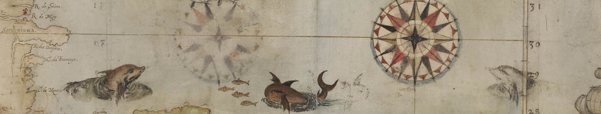
Figure 3: John Haynes, [Survey for Ambrose Hirdling and John Southerland], 24 March 1672, Swem Library Special Collections.

Figure 4: Edwin Conway, [Survey in Rappahannock], 13 March 1677, Virginia State Library, (Old) Rappahannock County, Deeds, Wills, Inventories, Ect., No. 7 1681-1688
While mapping grew in New England in the 1670s for largely the same reasons as in Virginia— land disputes— it generally took place at the level of colonial general courts, not in county courts or town assemblies. Local Virginian authorities had the inclination, skills, and tools to survey. With county courts requesting maps be made to resolve local border disputes, Virginian landowners likely were confronted with the usefulness and power of cartography and professional surveying on a far more regular basis then those in New England. My research findings in Virginia have helped me rethink the role of local authorities in the establishment of spatial cultures among colonists. Local authorities had the power to make landowners understand that a map was a potent legal tool in the constant battle for property borders. From this, the seeds of “mapmindedness” were sown.
[1] Sarah S. Hughes, Surveyors and Statesmen: Land Measuring in Colonial Virginia (Richmond, VA: Virginia Surveyors Foundation and the Virginia Association of Surveyors, 1979). Hughes’s detailed work greatly helped me in shaping my research agenda while in Virginia. Hughes explores the culture of surveying in Virginia.
[2] I owe many thanks to Merry Outlaw at the Jamestown Rediscovery Foundation for both showing me these artifacts and explaining where they were found and what those locations meant.
[3] Hughes, 48.
[4] Minor T. Weisiger, Research Notes Number 20, Library of Virginia, 2010.
[5] Peter Barber, “Mapmaking in England, ca. 1470-1650,” in The History of Cartography, Ed. David Woodward (Chicago: The University of Chicago Press, 2008), 3: 1594, 1608, 1643, 1668; Matthew Edney, “British Military Education, Mapmaking, and Military ‘Map-Mindedness’ in the later Enlightenment,” in The Cartographic Journal 32, No. 1 (1994), 14; P.D.A. Harvey, Maps in Tudor England (Chicago: The University of Chicago Press, 1993), 17.
[6] A sketch map is drawn from observation instead of measurements. While this map was likely a copy, copies in land records almost always closely resembled the original.
Comments