
WMQ-UCI Workshop Abstracts
October 11‒12, 2018 • Irvine, CA • Abstracts
Schedule LogisticsRegistration Download
Thursday, October 11, 2018
Ashley Falzetti, University of Windsor
This paper pulls together conversations on ancient oral history, evidential value, and digital community research to think through the risks and potential of bringing American Indian engagements with digital archives to bare on scholarly understandings of Early American history. Drawing on online discussions of Mihšihkinaahkwa (Little Turtle, 1747-1812) and his belongings I will illustrate both the benefits and challenges of engaging living communities in collective digital archival research.
Amanda Crompton, The Max Planck Institute for the History of Science, and Marc Bolli, Memorial University
Our project queries how digital data and computational analysis can reveal the ephemeral traces of European occupation on the North Atlantic island of Newfoundland. Between ca. 1500 and 1904, Newfoundland’s shorelines were seasonally occupied and abandoned by transient French fishing crews, who crossed the Atlantic every year to prosecute the cod fishery. Many of these sites were never occupied permanently, and now lie abandoned beneath a landscape that has been subject to a century of unintentional rewilding. However, these sites are not lost, for our project uses recent advances in digital data collection and computational developments to read the anthropogenic origins of these landscapes in novel, non-invasive ways.
Christy Hyman, University of Nebraska, Lincoln
Focusing on enslaved runaways’ proximity to waterways and the natural environment within the Great Dismal Swamp, this project uses the functionality of geospatial predictive modelling to create a cost surface of suspected patterns in enslaved fugitive movement as evidenced through enslaved runaway ads posted between 1790 and 1842.
“The Oak of Jerusalem: Flight, Refuge, and Reconnaissance” simulates the political costs of travel by land, river and sea across a seven county area bordering the swamp. All of these impregnable sites overland and the waterways flowing throughout developed into areas of hideouts, temporary forays, and conduits to freedom for enslaved people possessing the navigational literacy to move through.
Geospatial technologies are central to this study because of the ways that GIS can build intellectual bridges between historically marginalized experiences and measurable qualities within the Great Dismal Swamp landscape. Using geoprocessing methods employed with ArcGis tools a cost surface is in development to investigate the ways enslaved people appropriated the landscape into areas of refuge and reconnaissance and eventual escape.
Session 4 • (In)Visibility and Conquest: Using Data and Geo-Visualization Techniques to Trace Indigenous Activity in Conquest-Era Peru
Jeremy Mikecz, University of Southern California
For conquest-era Peru, colonial authors commonly erased indigenous histories, geographies, spaces, and even peoples. These authors constructed narratives that privileged the mastery of a few Spaniards while relegating indigenous actors to the background. This paper applies new digital and spatial history techniques as a means to reconstruct indigenous activity as well as its central role in shaping the events colonial authors documented and the spaces they described. In doing so, it proposes a series of digital-ethnohistorical methods to analyze colonial erasures and render native actors visible once again.
Friday, October 12, 2018
Maeve Kane, University of Albany
The Anglican Fort Hunter congregation included Mohawk, Palatine German, Dutch, Scots, English, and enslaved African congregants, representing a unique window into daily social ties within ethnic communities and across racial lines on the eve of the Seven Years’ War. Using social network analysis, this project argues that women’s roles within their ethnic subcommunities differed substantially, indicating ethnic and racial differences in family structure and women’s social roles creating ties between families within a single congregation. Ethnic groups in this congregation used baptismal sponsorship to define community boundaries, and an otherwise poorly documented Dutch woman was the primary intercultural mediator in this non-diplomatic setting.
Edward Larkin, University of Delaware
One of the most salient features of the early American novel is its geographic range. Brown, Tyler, and Rowson, for example, all wrote novels that spanned not just the North Atlantic, but also the Southern Hemisphere, and even extended to Australia. Our project will create a digital mapping application to allow us to study the dramatic expansion of spatial and temporal mobility in these novels. Through a series of digitally animated maps we hope to learn more about how the new order of empire shaped both the genre of the novel and American culture in the eighteenth century.
Jordan Taylor, Indiana University, Bloomington
How did North Americans learn about the revolutionary events unfolding around them in the late eighteenth century? I address this question through a quantitative reconstruction of Atlantic information networks using a dataset of some 20,000 newspaper citations. Spatial mapping and social network analysis reveal that these networks changed over time, often in surprising ways. In particular, they were responsive both to the demands and beliefs of North American political actors and to changing commercial and diplomatic structures shaped by major issues such as war and revolutionary politics abroad as well as mundane matters such as weather and commodity prices.
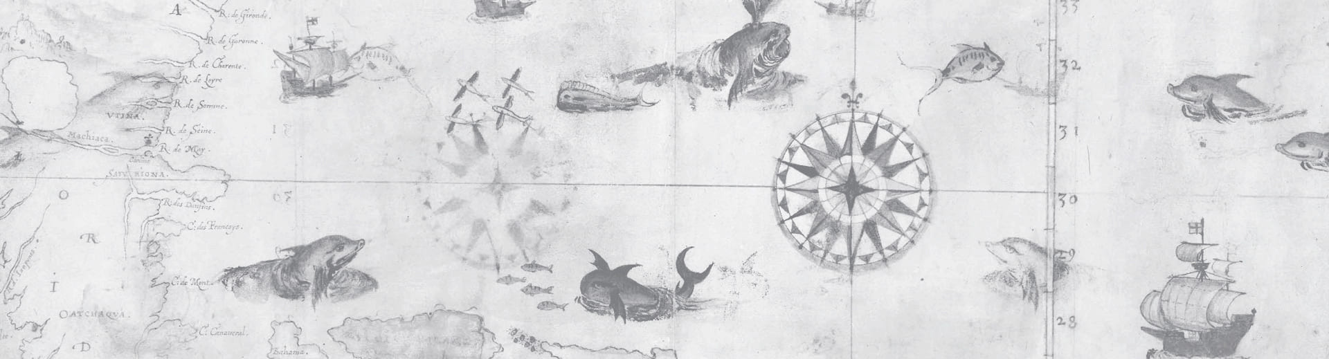
Session 8 • “Inlet to the Heart of North America”: Visualizing Spatial Experience and Imagination along the St. Lawrence River, ca. 1500-1867
Early North America was a continental space oriented along its rivers, and no waterway was more important than the St. Lawrence in determining the fate of empire. This project visualizes historic maps and GIS data on VisualEyes5, an HTML5 authoring platform. By animating routes, analyzing maps, tracking toponyms, and mapping statistical data, it experiments with a new form of geospatial historical scholarship. How did indigenous people, colonists, and officials understand the river’s role in connecting geographic space? I seek to answer this open-ended question by reconstructing spatial ideas and experiences across the broad sweep of the river’s colonial history.